Heritage Roads
South Buona Vista Road
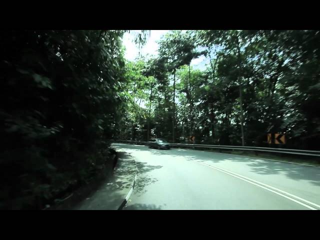
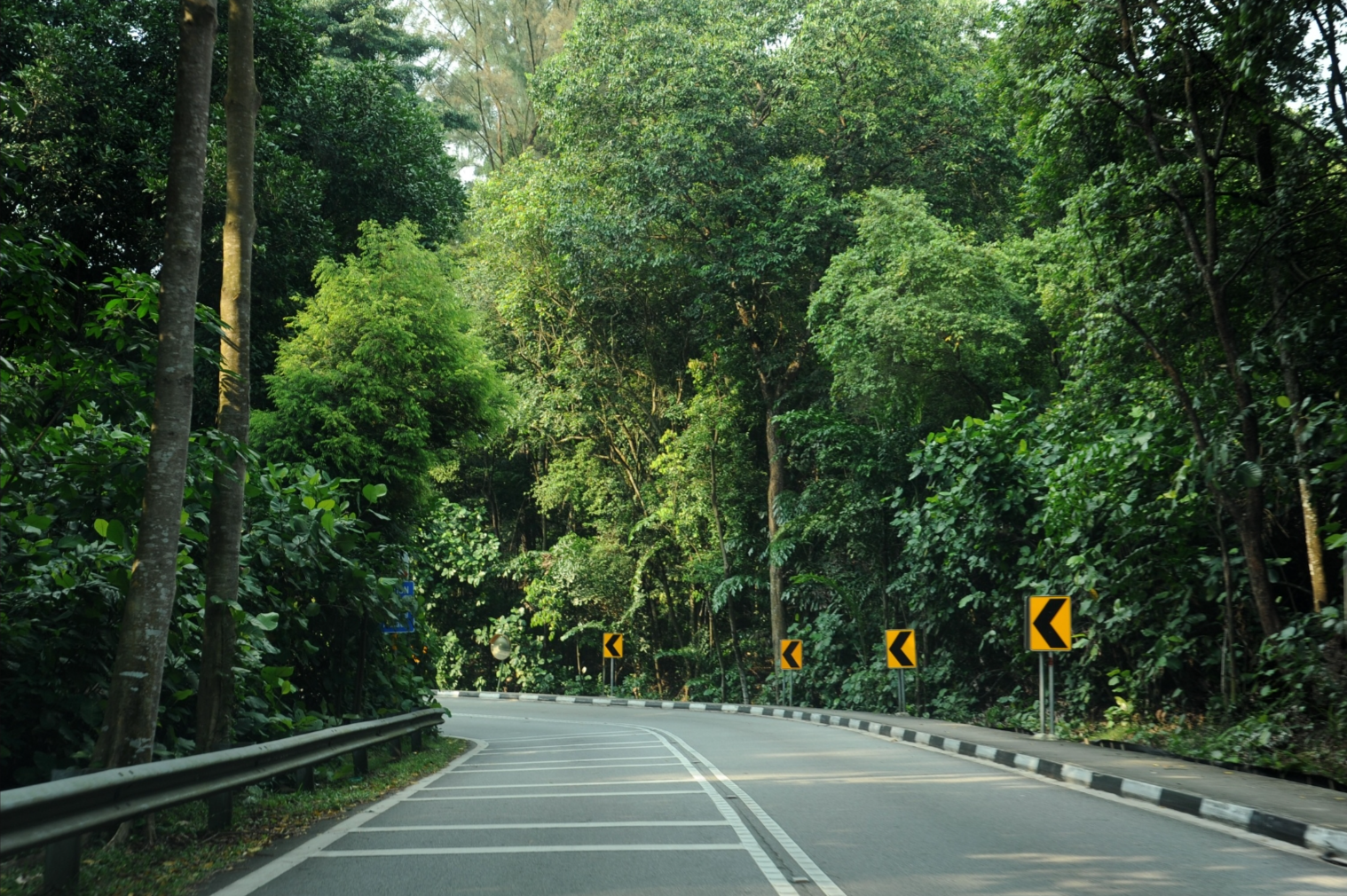
Laid through the high ridges of Kent Ridge Park, South Buona Vista Road is a picturesque boulevard flanked by forest edges of Silver Back Trees, Tembusu and Tiup-tiup, as well as planted Pelong, Spicate Eugenia, Indonesian Bayleaf, and Yellow Flame trees.
Heritage Road Information
Starting point | Ending point | Distance |
Laid through the high ridges of Kent Ridge Park, South Buona Vista Road is a picturesque boulevard flanked by forest edges of Silver Back Trees (Rhodamnia cinerea) (opens in new tab), Tembusu (Cyrtophyllum fragrans) (opens in new tab) and Tiup-tiup (Adinandra dumosa) (opens in new tab), as well as planted Pelong (Pentaspadon motleyi) (opens in new tab), Spicate Eugenia (Syzygium zeylanicum) (opens in new tab), Indonesian Bayleaf (S. polyanthum) (opens in new tab) and Yellow Flame trees (Peltophorum pterocarpum) (opens in new tab). The notorious hairpin curves of this dazzling green tunnel links Dover to Pasir Panjang Road and require careful navigation.
As its name suggests in Italian, the descending slopes of South Buona Vista Road used to offer drivers stunning elevated sea views. Constructed before World War II, the ridges were the site of the famous battle of Pasir Panjang, which took place in February 1942 between the invading Japanese forces and the Malay Regiment, led by Lieutenant Adnan Saidi.